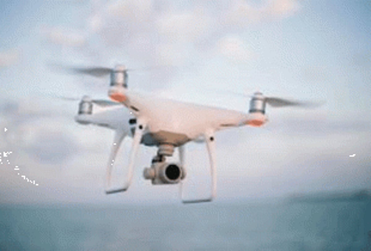
PANJIM: Goa might soon see use of drone technology for traffic management, monitoring of mining area and also enumeration of trees as the government has proposed to set up State’s first Drone Park cum Hub in Pernem taluka.
With ever-increasing usage of Unmanned Aerial vehicles (UAVs), popularly known as drones, for various applications, the Goa government has invited expression of interest to set up Drone Park cum Hub at its electronic manufacturing cluster in Tuem in Pernem taluka.

Chief Minister Pramod Sawant will chair crucial meeting on Thursday, wherein presentation will be made by Kerala based M/s AutoMicroUAS Aerotech Pvt Ltd regarding expression of interest to set up Drone Park cum Hub.
Sources informed that the hub will have a drone manufacturing plant, drones, robotics, research and development centre, drone forensic centre, training centre and placement cell at Tuem electronic manufacturing cluster.
Sources said that the company has expressed its expertise and experience in implementing drone based applications in different areas like tree enumeration and counting, wildlife enumeration, monitoring of solid waste management, traffic management, and surveillance in mining areas, disaster management and agriculture.
“Drone-based services in government sectors will lead to better efficiency and faster results. This could range from project monitoring, mapping, management among others,” sources said.
Sources said that Central government is predicting a drone boom just like the Information Technology boom.
The government of India has undertaken a series of reform measures to make India a global drone hub by 2030. Drone Airspace Map was published on September 24 last year, opening up nearly 90 per cent of Indian airspace as a green zone for drones flying up to 400 feet.