India has voted in favour of a United Nations General Assembly resolution aimed at promoting a more accurate representation of continental landmasses on world maps, while making it clear that any depiction of Jammu and Kashmir and Ladakh must conform to India’s official map.
The Ministry of External Affairs (MEA) said on Sunday, September 6, that India supported the resolution, titled “Correct the Map: Rebalancing Global Cartographic Representation and Promoting Equitable Representation of the World’s Regions, Particularly Africa”. The resolution was adopted by the 193-member UN General Assembly on September 4.

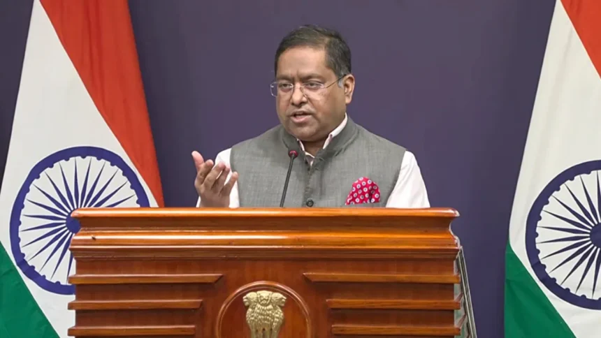
The move was accompanied by an explanation of vote from India, in which New Delhi underlined the principle of equal-area cartographic representation. MEA spokesperson Randhir Jaiswal said India’s vote in favour of the resolution should not be interpreted as an endorsement of any particular map, projection or depiction of national boundaries.
Jaiswal also responded to concerns over the representation of India’s sovereign territory. He said the Union Territories of Jammu and Kashmir and Ladakh must be depicted in accordance with India’s official map.
“India’s sovereign territory, including the Union Territories of Jammu and Kashmir and Ladakh, must be depicted in accordance with India’s official map. Any inaccurate or misleading depiction is unacceptable,” Jaiswal said.
He further reiterated India’s position on the issue of sovereignty and territorial integrity, describing it as clear, consistent and non-negotiable.
The MEA said the purpose of the UN resolution is to encourage the adoption of equal-area map projections that preserve the relative sizes of continental landmasses. Such projections seek to address distortions that can occur when the three-dimensional surface of the Earth is represented on a two-dimensional map.
Jaiswal clarified that the resolution itself does not adopt or authenticate any specific world map. It also does not deal with political cartography, including international boundaries, disputed territories or place names.
The UN General Assembly overwhelmingly approved the resolution. It received 164 votes in favour, while Estonia, Georgia, Lithuania, Moldova, Serbia and Ukraine abstained. The United States was the only country to vote against the resolution.
The resolution specifically states that the Equal Earth map projection provides a more accurate representation of the relative sizes of continental landmasses.
India’s position reflects its support for the broader cartographic principle behind the resolution while maintaining its established position regarding the depiction of its territory. By backing the resolution, India has supported efforts aimed at improving the geographical accuracy of world maps without accepting any implication that its vote changes its position on sovereignty or territorial integrity.
The issue assumes significance because maps can carry both geographical and political implications. While the UN resolution focuses on cartographic representation and the relative size of continents, India has emphasised that the depiction of its sovereign territory remains a separate and non-negotiable matter.
The MEA’s clarification therefore draws a distinction between supporting a technical effort to promote more accurate world maps and accepting any particular representation of India’s territorial boundaries.
For now, the UN resolution provides a framework encouraging equal-area map projections, while India has made clear that any future UN-initiated world map must accurately reflect the country’s official territorial position, particularly with regard to Jammu and Kashmir and Ladakh.