With the Center announcing Panjim among the 98 cities for the Smart City project, the CCP has appointed ICLEI as consultants.
However, LKS has already submitted a fool-proof mobility plan for the city which is gathering dust in the CCP cupboards. Herald understands that the CCP does not need funds to implement the mobility plans submitted by LKS. Inquiries have revealed that LKS India had worked on a comprehensive mobility plan for Panjim when it created a draft masterplan for the holistic development of Panjim city. The plan specifically worked on a multi-modal transport structure: Equivocal interest to sustainable alternatives to urban movement like the Bus Rapid Transit, cycling, pilots etc. Initiatives like Park and Ride, Park and Walk, Park and Cycle will be put in place. Efficient urban services, top class utilities, technology, implementation and maintenance, well networked open public spaces and heritage and tourism will also be focused on.
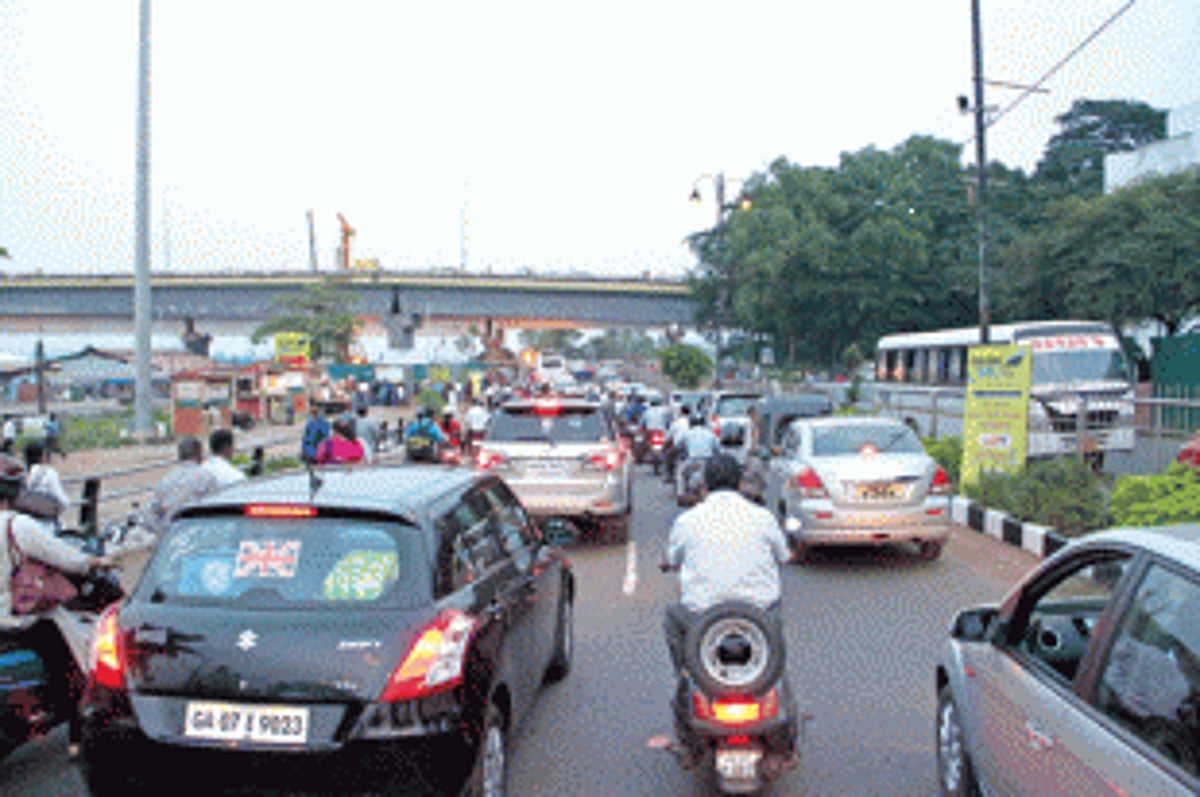
Mikel Oteiza, Project Director, LKS Consultants, speaking to Herald says the existing problems Panjim faces include chaotic traffic movement, difficulty in navigation and parking, hostile situations for pedestrians and cyclists, excessive noise and air pollution, lack of good public transport options and accidents.
“Mobility is largely affected by private vehicles – both two wheelers and four wheelers – which require a lot of public space, be it for movement or parking in the city. On the other hand, public transportation including buses, walking or cycling requires less public space. The solutions to mobility should therefore be based on these modes of transportation that require less public space in the city,” he says.
In its report the LKS had made following proposals:
One ways
Making roads one-way which has already been notified by the state Government, which will reduce the number of conflicts between vehicles at junctions, thus increasing the capacity of roads and ensuring smoother flow of traffic.
Road Hierarchy and Pedestrian streets
Roads have been classified into main roads, access roads, pedestrian streets and distribution roads. Some of the roads which have been proposed as pedestrian streets include 18th June Road, SV Road linking Boca de Vaca with the Riverfront ferry and Gov Pestana Road connecting the market with 18th June road. A few roads have been marked as co-existent roads which can be used by both, pedestrians and vehicles. Wide pavements along the roads will connect main landmarks in the city making it pedestrian friendly.
Public Transport System
l Bus: 7 bus routes spanning Panjim, Taleigao, Bambolim and St Cruz. There will be bus stops within 150 meters of any point in the inhabited parts of the city. The frequency of buses will be 5-12 minutes. One can go from any point in the city to any other point with maximum 1 change of bus. Movement of buses will be as fast as that of private cars. Fares will be made affordable for commuters (cross-financed through parking fees). Existing and proposed parking lots include spaces at Inox, Police head quarters, PWD, Parade ground, Patto, St Monica jetty and KTC area.
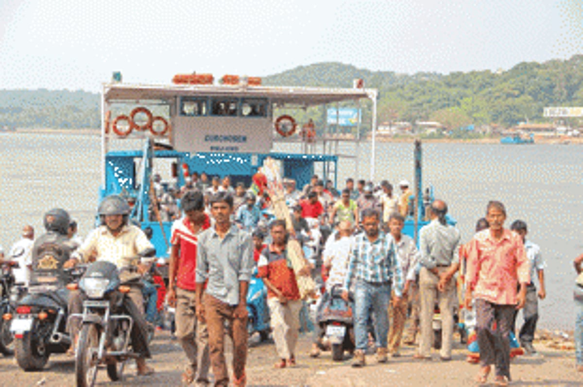
l Ferry: New proposed ferry lines with free parking areas on the right bank of the Mandovi for people using the ferry. It’s also proposed that new, safer ferries with more capacity will be included and that the frequency of such ferries will be increased.
l Cycling Network: Cycling will be promoted as a preferred mode of private transport. A continuous dedicated cycle lane from Dona Paula to Ribandar will be created. The cycling network will have easy access to all blocks of the city centre through coexistent roads (30km/h zones).
l Kadamba Bus Stand: A new bus stand with 228 buses has been proposed at Patto. The roof to be designed as a green urban park.
l Improving access to the city: North Access: Improvement of Mandovi bridges and junctions as well as the new Ourem bridge which will connect Panjim east ring with NH17 with a four lane bridge. Junctions and bridge directions of traffic flow to be rationalized. New bridge for NH17 to be used as an expressway. Junctions design based on real traffic data. East Access: Through the Santa Cruz connection. Vehicles accessing Campal area from South Goa to be diverted from south Mandovi junction, and Santa Cruz internal roads. New exit of the city in case of emergency.Central Spine: South Altinho ring and the Taleigao bypass. Four lane access to Taleigao and southern parts of the city. Vehicles arriving from north Goa to be diverted from DB road.South Access: Through GMC Junction and University bypass. Key junction at GMC – this can help take the load off the KTC junction. There will be a parking lot with a bus stand for city buses. Private vehicles going to western parts of the city to be diverted through Dona Paula ring road. The University bypass will avoid traffic through the campus. At the GMC junction one can either have a one level junction and reorganize traffic or a tunnel (cut and cover) as a permanent solution.
“Transport is critical to a smart and modern city. Immediate short term solutions to the city’s transport woes are one way roads which can reduce congestion. In the long term though, reducing the use of private vehicles in the city and increase of non-motorized means of transport such as cycles, walk-ways and pedestrian roads are a solution,” says Oteiza.