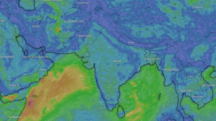
The southwest monsoon is expected to regain momentum next week after remaining weak across large parts of the country for most of July, according to the India Meteorological Department (IMD).
The revival is likely to begin over Northeast India before extending to eastern, central and northern regions. Widespread rainfall accompanied by thunderstorms is expected, with isolated areas likely to receive heavy showers. The fresh spell of rain is expected to provide much-needed relief to regions that have experienced prolonged heat and humid conditions.

The change in weather is being driven by a fresh low-pressure area developing over the Bay of Bengal. Such systems draw moisture from the sea and organise it into rain-bearing clouds. As the system moves inland towards central India, it is expected to pull the monsoon trough back to its normal position across northern India.
For the past few weeks, the monsoon trough had shifted towards the Himalayan foothills, leading to heavy rainfall in the hills while leaving the plains largely dry. The return of the trough is expected to allow moisture-laden winds from both the Bay of Bengal and the Arabian Sea to spread rainfall across a wider region.
Meteorologists attribute the recent dry spell to a “break monsoon” phase, during which few low-pressure systems formed over the Bay of Bengal and moisture-carrying winds weakened. India has recorded a rainfall deficit of around 24 per cent so far this season, receiving 244.6 mm of rainfall against the normal 323.1 mm.
Despite limited rainfall, high humidity and strong sunshine kept temperatures elevated, with heat index values crossing 40 degrees Celsius in several cities. While the upcoming rains are expected to bring immediate relief and support sowing of crops such as rice, soybean, cotton and pulses, experts say sustained rainfall through August will be crucial to bridge the seasonal deficit.