PANJIM: The State Department of Environment and Climate Change shared a series of posts on its social media platforms in an attempt to clear doubts ahead of the two district public hearings for finalisation of the Coastal Zone Management Plan (CZMP) that is scheduled on July 8.
Via these posts, the State government has stated that no structures will be depicted on the final CZMP map and that as such; all structures which are shown on the map will be removed.
The Environment Department also clarified that objections and suggestions for the CZMP pertaining to Khazan Lands, Bunds and Sluice Gates will be referred to the Water Resources Department (WRD) and the ones related to Fishing Wards and Fishing Zone will be referred to Fisheries Department for enquiry.
“The Hazard line is merely a tool to enhance disaster management plans and is not a regulatory line,” read one such post of theirs.
“100 Mts line is drawn along the coast as traditional communities are allowed to construct dwelling units between 100 to 200 mts subject to comprehensive plan which is otherwise an NDZ (No Development Zone) area,” said another post.
The department also shared videos of Dr Simon D’Souza, ex-scientist from the National Institute of Oceanography (NIO), ex-member of the Goa Coastal Zone Management Authority (GCZMA) and ex-chairman of the Goa State Pollution Control Board (GSPCB) on Khazan lands. It may be recalled that Dr Simon headed a committee regarding plans for khazan lands, mangroves and the fishing community in connection with CZMP and he had given his recommendations for the same.
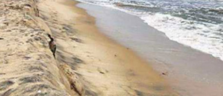
“Khazan Lands are low-lying agricultural lands protected from the neighbouring estuary with the help of ‘baandhs (bunds)’ and sluice gates. The CZMP denotes the high tide line with the use of ‘baandhs (bunds)’,” said the Environment Department in another post.
The Department also shared a video of Dr Sujeet Kumar Dongre, an expert member of the GCZMA, who discussed the brief outcome of the 254th GCZMA meeting that had deliberated on issues raised in the objections and suggestions to the draft CZMP.
The Environment department has also asked the public seeking more information on the Coastal Regulation Zones to visit http://czma.goa.gov.in .“The CZMP aims at safeguarding these fragile ecosystems that lie between marine and territorial zones. CZMP depicts high and low tide lines, ecologically sensitive areas (CRZ1), areas of no development (NDZ), developed areas (CRZ2), underdeveloped rural areas (CRZ3) and water areas (CRZ4). CZMP demarcates fishing wards, fishing zones and fish breeding areas. The CZMP also demarcates Khazan lands and hazard lines,” read a final post of the department.