Team Herald
BICHOLIM: Karnataka has once again started making its moves to re-start their ultra-ambitious Kalasa-Bandura project after four years.
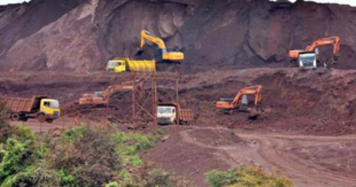
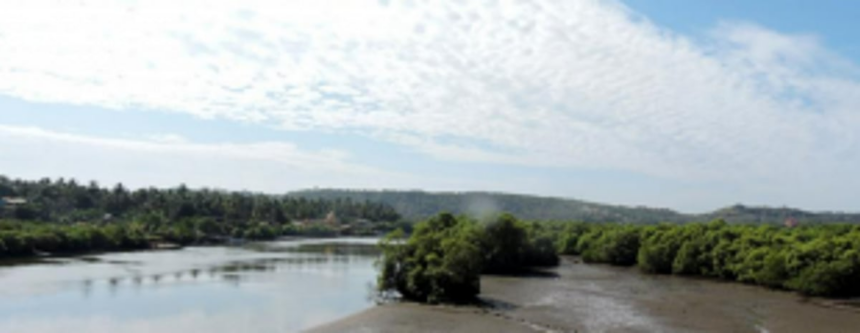
The process of soil mapping and other surveys in the radius of Mhadei Wildlife Sanctuary are underway. The water has been diverted in Malaprabha River since 2006 by Karnataka Neeravari Nigam Limited, a wholly owned company by the Government of Karnataka.
“The soil mapping with the help of the machinery is already underway. This indicates the process to divert the water of all the nullahs in Malaprabha River as soon as all the surveys are done. The mapping is happening within 500 metres of an area close to the Goa border,” said environmentalist Rajendra Kerkar.
All the three States have filed petitions in the Supreme Court and the case has been undecided for the last four years.
Maharashtra and Karnataka are required to take licences from the Central Water Commission. Meanwhile, the Karnataka government has prepared revised plan as well as financial provision has been done.