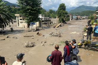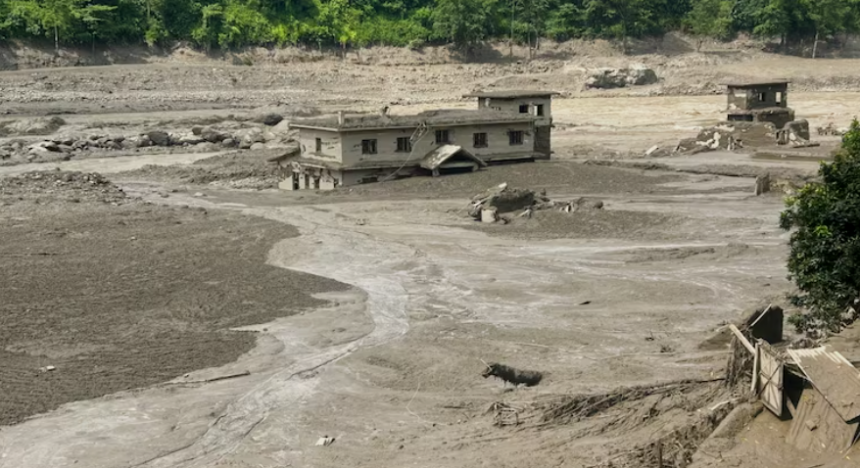
The deadly flash floods that struck Nepal on Wednesday were triggered by a powerful landslide and glacial collapse rather than an earthquake, the United States Geological Survey (USGS) has clarified.
The agency initially reported seismic activity measuring 4.4 magnitude along the Nepal-China border, north of Kathmandu. However, it later clarified that the event was not an earthquake but a glacial collapse followed by a massive debris flow that caused catastrophic flooding downstream.

According to the USGS, no earthquake had occurred.
An initial analysis of Planet Labs satellite imagery indicated that a large mass of ice and rock had collapsed, sending a huge volume of debris into the Lhende River, around 20 km northeast of the Rasuwagadhi border crossing between Nepal and China.
The Lhende Khola is a tributary of the Bhote Koshi River, flowing from China into Nepal. The landslide generated an exceptionally powerful debris-laden flood, devastating areas downstream.
The disaster has killed more than 157 people, with the scale of the landslide and resulting flood initially leading to speculation that an earthquake had triggered the catastrophe.
The powerful landslide was subsequently assessed as producing seismic activity equivalent to an earthquake of around magnitude 5.2, explaining why the event was initially detected and reported as an earthquake.
The USGS clarification underscores that the catastrophic flooding was caused by the sudden collapse of ice and rock and the resulting debris flow, rather than by tectonic activity.
(This story is published from a syndicated feed)