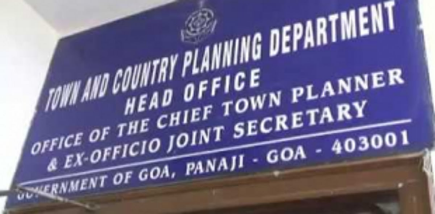
PANJIM: After incorporating a few changes, the North Goa Planning and Development Authority have adopted the land use map and register of Mapusa Planning Area. The process to prepare the land use map and register for the Mapusa Planning Area had commenced from December 2018.
The TCP Board during its meeting held on October 13, decided to adopt the map and register and the same is now been kept open for public inspection at Mapusa Municipal Council, Village Panchayats of Verla Canca, Guirim, Camurlim, Colvale and NGPDA office at Mala, Panjim.