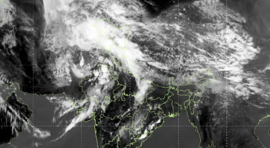
New Delhi: A massive 1,000-kilometre stretch of cloud cover hovered over northwest India and parts of Pakistan on Friday, indicating the onset of widespread rainfall in the region, according to satellite imagery released by the India Meteorological Department (IMD).
The developing weather conditions are being driven by an active Western Disturbance over East Iran and neighbouring Afghanistan, along with an upper air cyclonic circulation over East Rajasthan. Additionally, a trough extending from East Rajasthan to the east-central Arabian Sea is contributing to atmospheric instability.

This evolving system, which is gradually moving eastward, is expected to bring rain, thunderstorms and gusty winds across several north-western states, including Jammu and Kashmir, Himachal Pradesh, Punjab, Haryana and Rajasthan on Friday.
By Saturday, the weather activity is likely to expand further, affecting Uttarakhand, Uttar Pradesh, Madhya Pradesh and Chhattisgarh.
The IMD has forecast that intermittent rainfall accompanied by gusty winds will persist across these regions on most days until April 8, potentially impacting daily life and travel.
(This story is published from a syndicated feed)